80+ projects. 20+ countries. One mission.
We work where conservation happens: in Mozambique's game reserves, Zambia's remote wilderness areas, Botswana's national operations rooms, the forests of South America, and conservation landscapes across Europe and North America.
UNDP and Botswana NAC
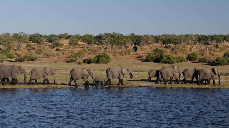
A national ArcGIS Enterprise intelligence platform connecting four wildlife law enforcement agencies through a Joint Operations Centre, regional intelligence centres, and real-time geospatial feeds.
IFAW Room to Roam
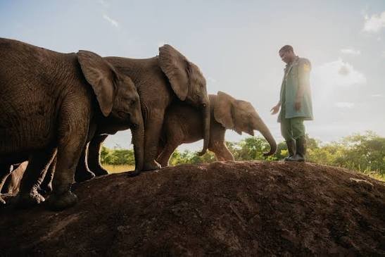
Integrated ArcGIS landscape planning toolkits for the Greater Hwange Landscape and Malawi-Zambia TFCA, including habitat suitability, connectivity, land-cover change, and nine critical corridors.
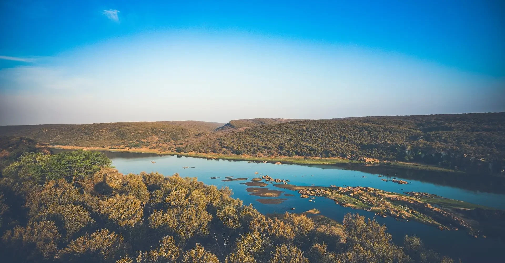
Karingani Game Reserve, Mozambique
MAPSS replaced two fragmented legacy systems with one ArcGIS Protected Area Management platform, unifying 27 workflows, IoT wildlife collars, fire alerts, and real-time dashboards across 150,000+ hectares.
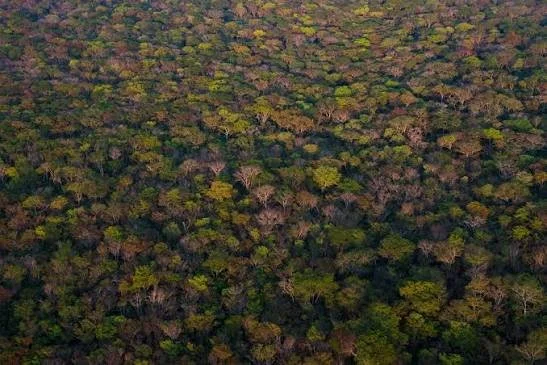
West Lunga Conservation Project, Zambia
A4PAM implementation across a remote Zambian ecosystem, including forest monitoring, wildlife observations, anti-poaching, community outreach, infrastructure, field data collection, and dashboards.
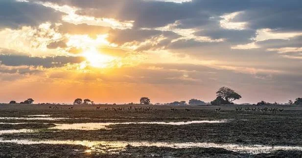
TNC Kafue Connected, Zambia
Land-cover and 10m fire monitoring across Kafue National Park and the Greater Kafue Landscape, giving programme staff a spatial evidence base for conservation interventions and funder communication.
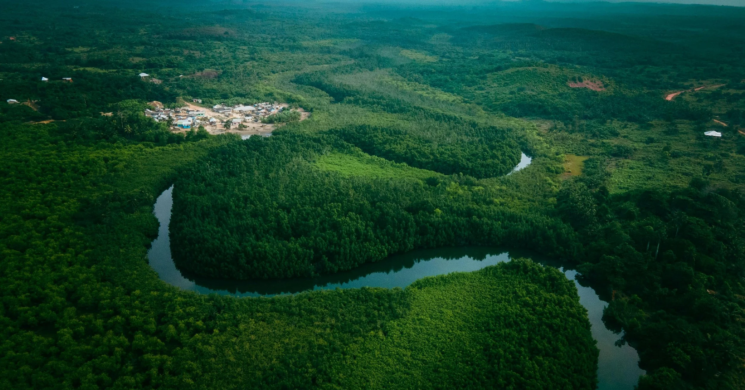
Frankfurt Zoological Society, multi-country
Satellite collar integration, elephant movement dashboards, LULC mapping, fire monitoring, and protected area workflows across 12 protected areas in four countries.
GET CORRECT LOGOS



Trusted by