
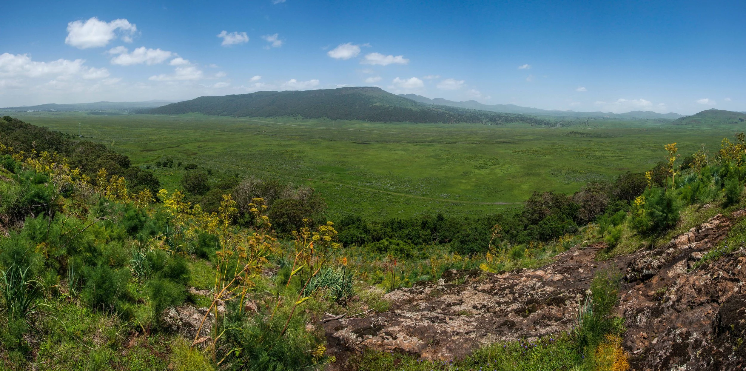
Built by ecologists. Grounded in the field. Built for scale.
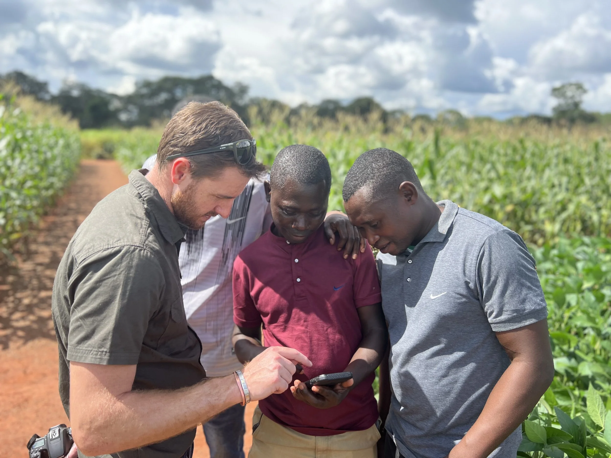
In 2017, Andrew Purdon, Pieter Olivier, and Michael Mole founded MAPSS after years working in the field, where they saw first-hand the dedication of scientists, rangers, and conservation practitioners - and how much good science never made it into practice. Their vision: bridge the gap between conservation science and implementation.
Today, MAPSS has grown into a team of ecologists, GIS engineers, and software developers, working alongside conservation teams to turn science into action.

Where science meets place.
We deliver practical, science-led solutions that protect ecosystems, empower communities, and unlock nature-positive investment.
A team shaped by the problem, not just the tools.
MAPSS exists because good science alone doesn't protect landscapes - it must reach the people making decisions on the ground. That's why our team pairs ecological and scientific expertise with hands-on technical skills, so every tool we build starts with a real conservation problem, not the other way around.
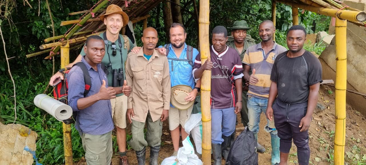
Our Team
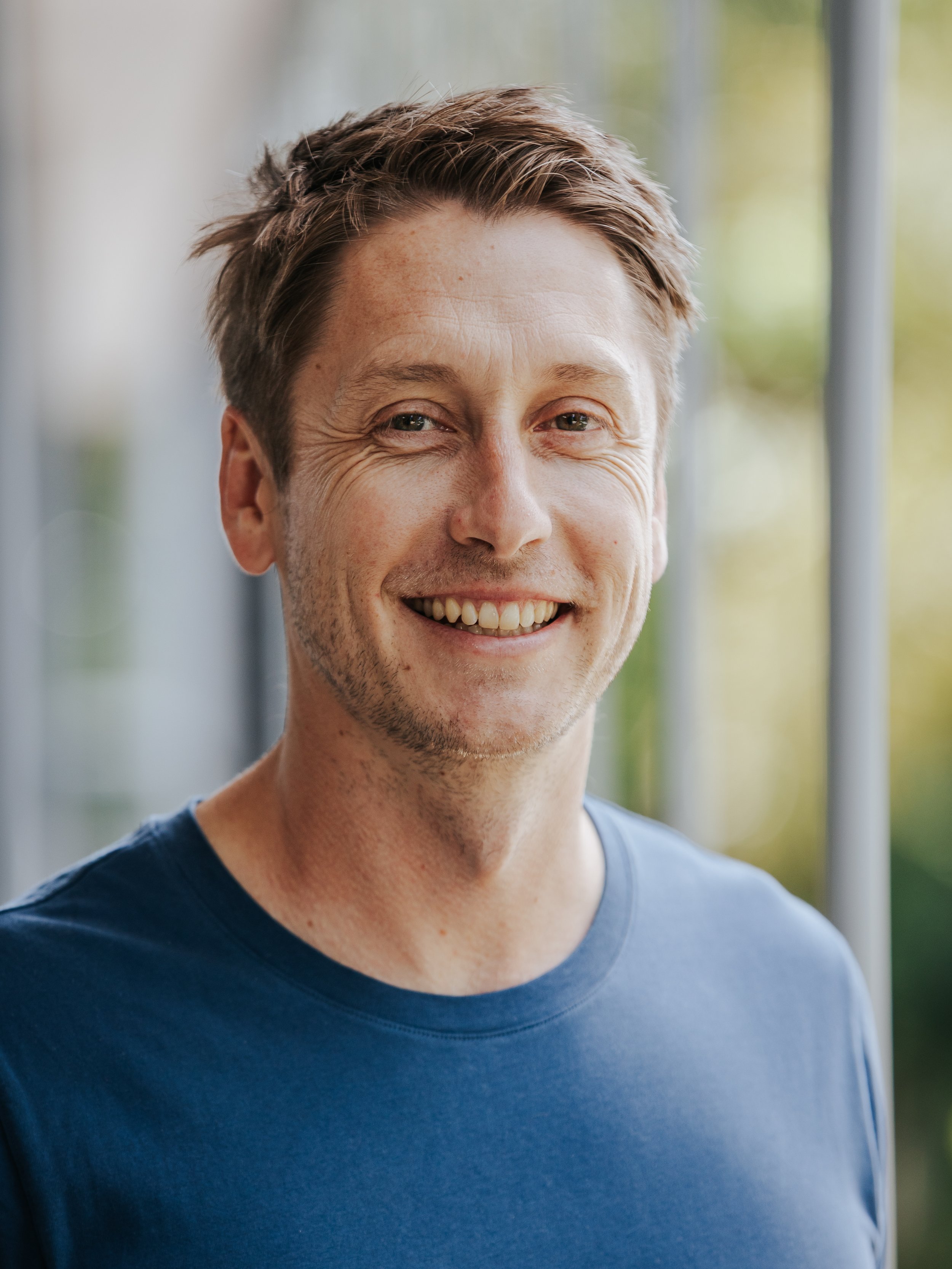
-
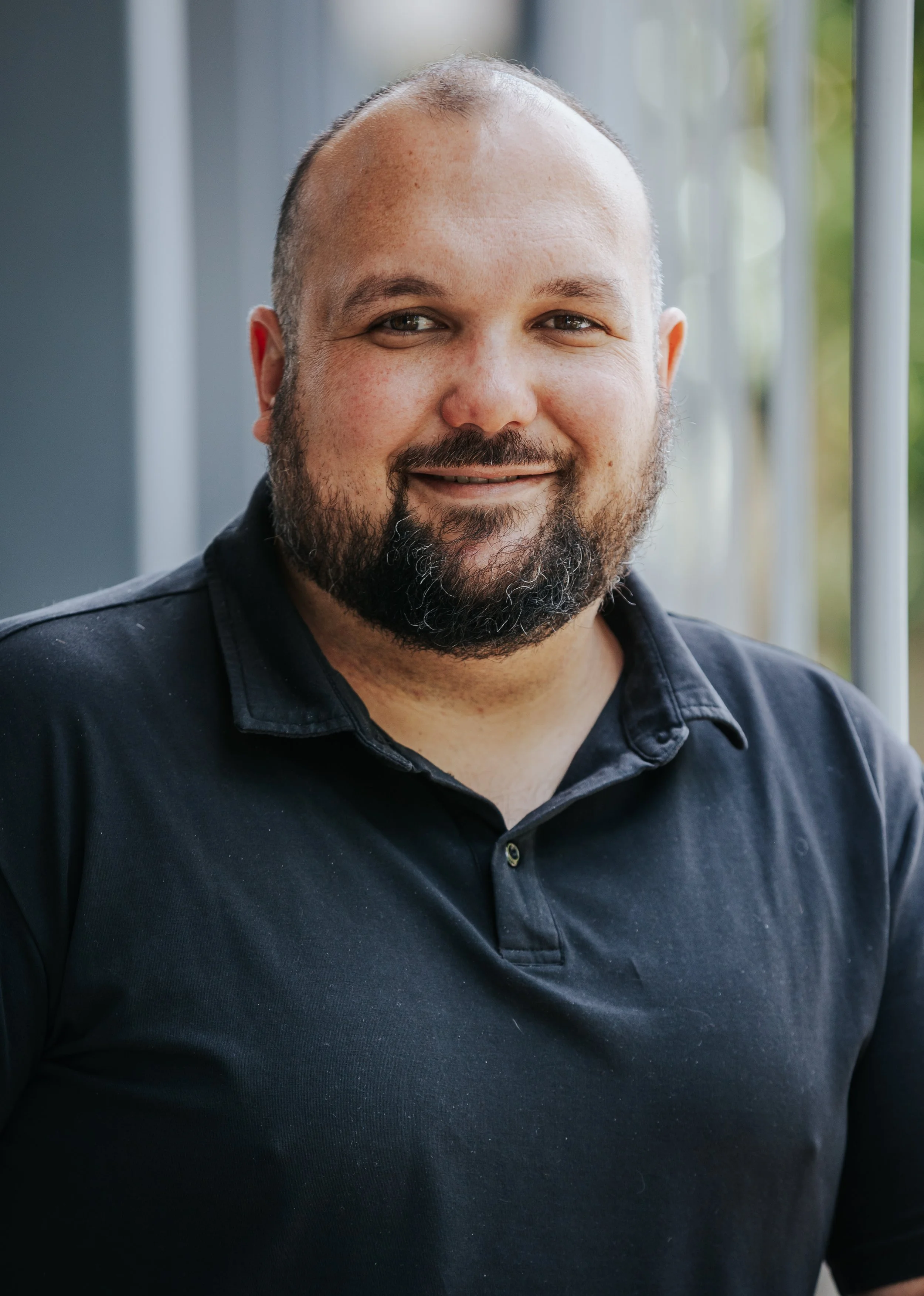
Pieter is an ecologist specializing in land-use change and the impact it has on biodiversity and people. He has co-authored more than 15 academic papers and has worked at site-, landscape-, and national scale projects. His work experience includes complex landscape scale restoration and conservation projects, as well as implementing biodiversity surveys, ecological assessments and environmental impact assessments to both national and international standards.
Pieter’s published works include articles on forest loss, birds, ecosystem processes, and forest habitat restoration. He is currently collaborating with the Tropical Landscape Lab at Newcastle University, focusing on forested landscapes in east and southern Africa. In 2014, he was awarded an Innovation post-doctoral fellowship by the National Research Foundation, and in 2015 he was awarded an Ecologist in Africa grant by the British Ecological Society. Much of his work focuses on understanding the response of biodiversity to land-use change and finding solutions that mitigate the effects thereof.
Pieter is registered as a Professional Natural Scientist (Pri. Sci. Nat) with the South African Council for Natural Scientific Professions (SACNASP no: 400119/17).
-
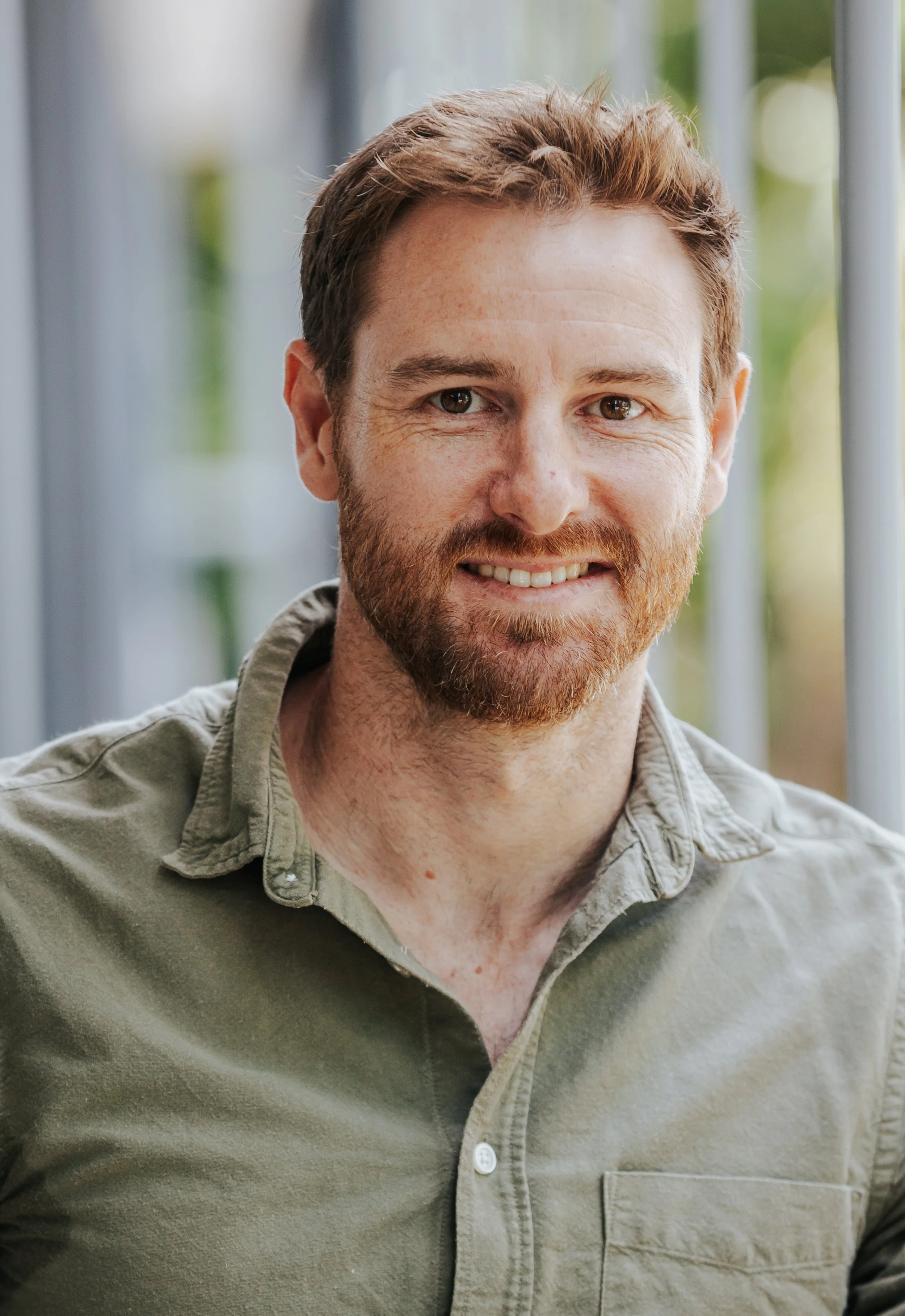
Andrew is an ecologist and GIS specialist, who has been involved in the design, development, and implementation of several conservation projects across Africa.
Andrew enjoys the challenge of leveraging the latest analytics and technology to solve environmental problems. This is complimented by his expertise in satellite remote sensing, the design and management of databases, and web and mobile application development.
He is particularly skilled in the programming language R, which has featured prominently in his published works and current projects. Andrew has a strong interest in using telemetry data to better understand how people and animals use space, and the consequences it has on protected area management, human wildlife conflict, and the design of habitat corridors and linkages.
-
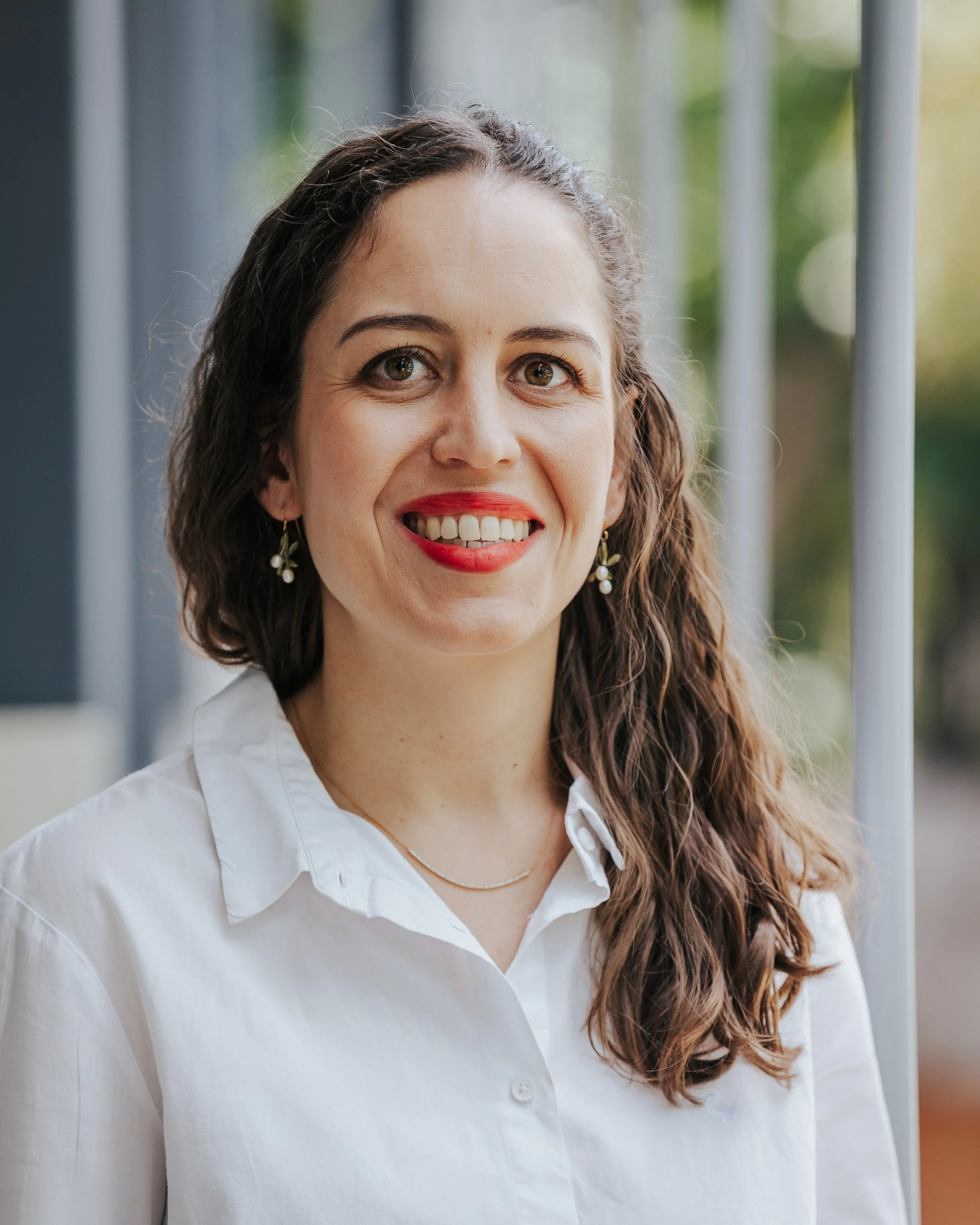
Michael is an ecologist with extensive experience in conservation and long-term research projects across southern Africa.
Through his involvement with conservation projects across southern Africa, Michael has gained a solid understanding of the challenges in conserving biodiversity at both local and global scale. He is an expert in project design and management and works closely with decision makers to find solutions to these challenges.
Michael is skilled in the development of web and mobile applications, GIS and remote sensing, as well as the programming language R. He has a strong interest in the design and analyses of studies that use camera traps and have presented training courses on the subject. He was also part of a 13-month research expedition to Marion Island, where he focused on marine mammal research.
-
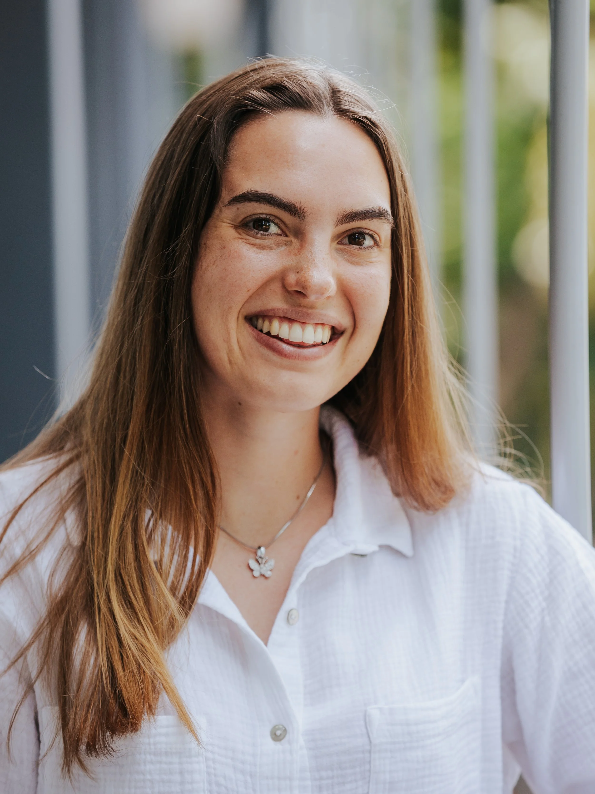
Senior Scientist
Mia is an ecologist with a special interest in applying science to create tangible and real-world solutions to conservation and environmental problems. Throughout her career Mia has
gained an understanding of several different systems, having done work in Africa, South America and the sub-Antarctic.
Much of her work has focused on the responses of species and ecosystems to climatic
variables. These studies have used a combination of traditional and novel techniques,
including drone imagery and 3D printing. She believes that using advances in technology
can promote better science and improved conservation outcomes.
Mia has a PhD in Plant Science from the University of Pretoria and an MSc in Biodiversity
and Taxonomy of Plants from the University of Edinburgh.
-
Geospatial Solutions Engineer
Shirean Redman is a Geospatial Solutions Engineer at M.A.P Scientific Services. She specializes in spatial data analysis and developing GIS workflows for diverse projects and clients, aimed at streamlining processes and enhancing both existing and new procedures.
Shirean holds an honours degree in Geoinformatics from the University of Pretoria and is well versed in Esri and open-source products.
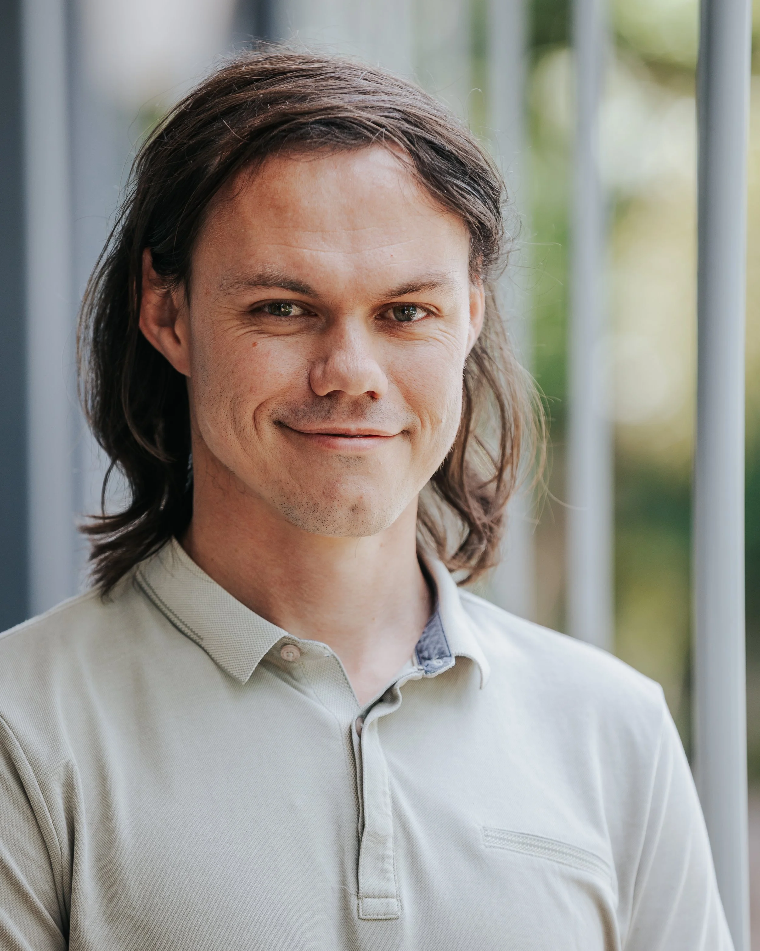
-
Senior Geospatial Developer
Frank is a Geospatial Developer at MAPSS Solutions who integrates technology and ecology to build systems for environmental monitoring and decision support. With expertise
in software engineering, spatial analysis, and remote sensing, he develops tools and pipelines that transform raw environmental data into actionable insights for conservation and land management.
At MAPSS, Frank focuses on integrating geospatial technologies and automation to
streamline workflows and support data-driven environmental decisions. His work bridges the
gap between ecological understanding and technical innovation, promoting sustainable innovation through practical, technology-driven solutions.
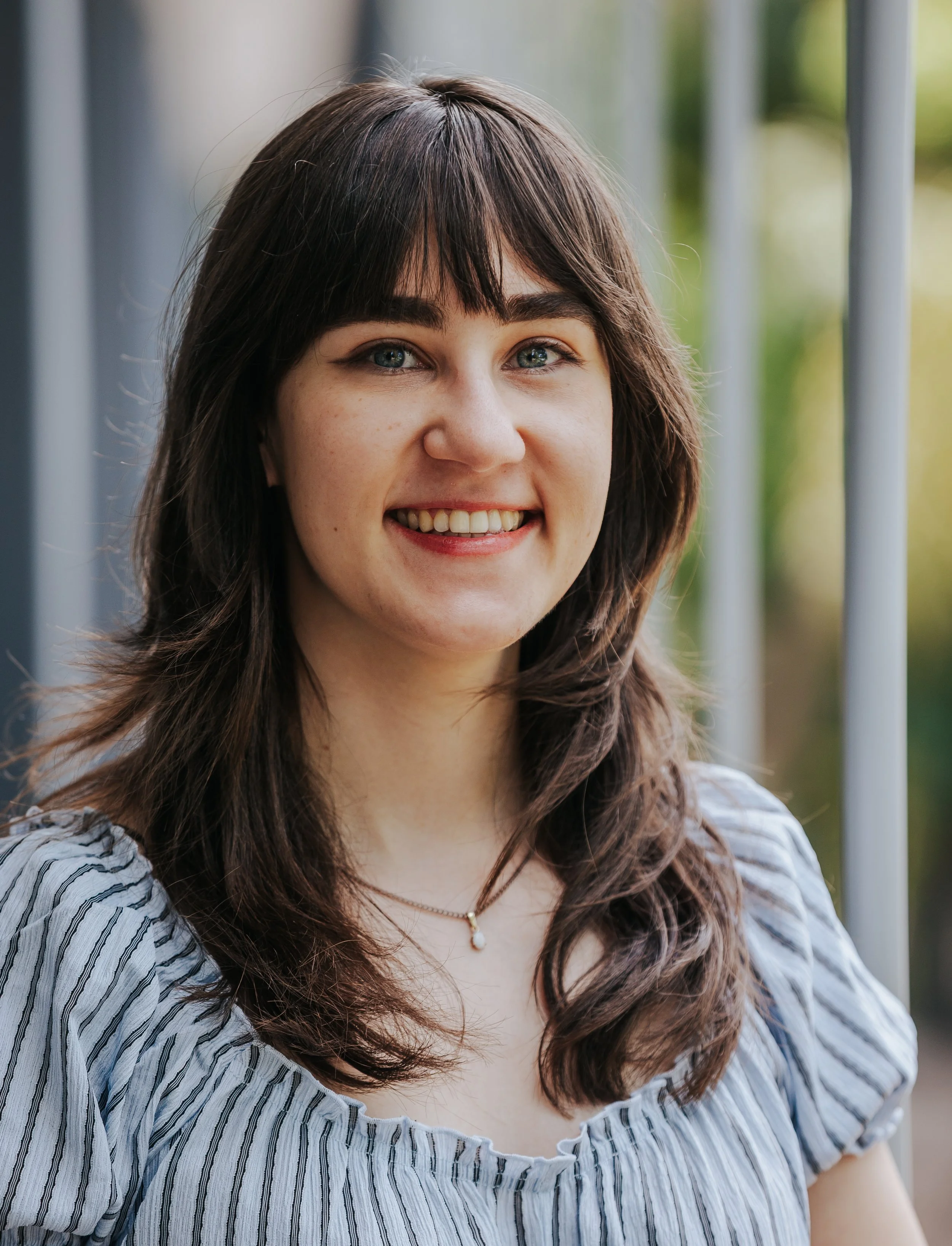
-
Geospatial Analyst
Janine Struwig is a Geospatial Analyst at M.A.P. Scientific Services, passionate about using spatial data to understand and protect natural environments. Janine is skilled in Esri products such as ArcGIS Pro, Dashboards, and Survey123, and is expanding her knowledge of programming languages such as Python to enhance her analytical work. She holds an Honours degree in Geography with a specialisation in Environmental Science from the University of Pretoria. Her role at MAPSS involves project maintenance and client support, spatial analysis, workflow automation and the development of tools that support evidence-based decision making in the conservation space.
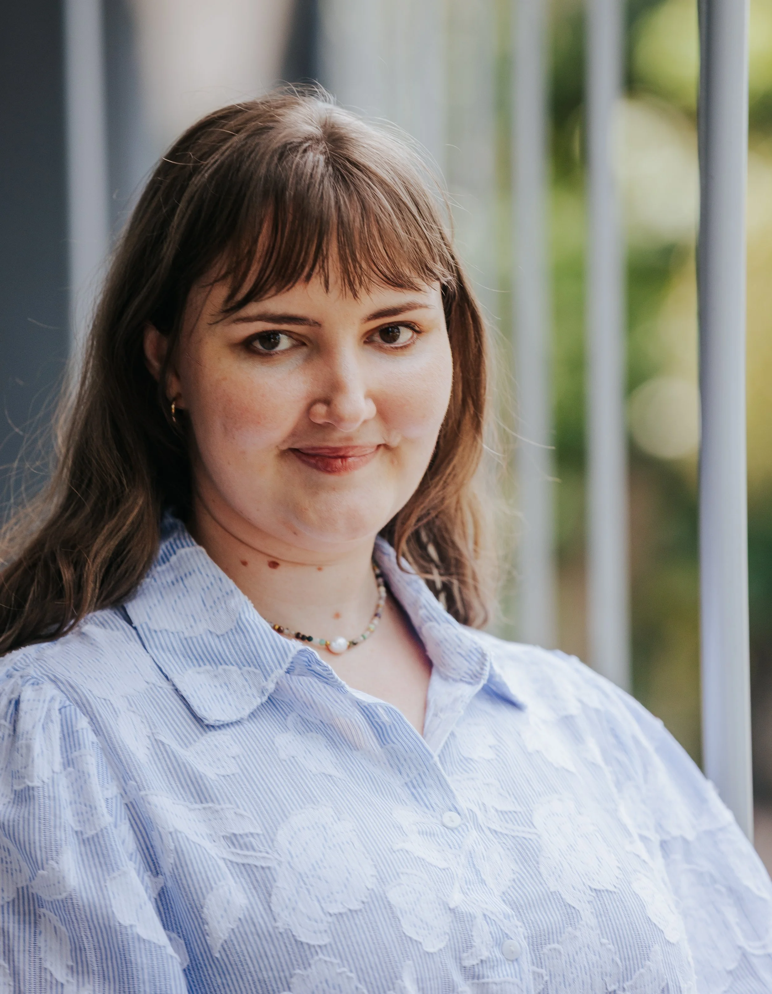
-
GIS & Remote Sensing Specialist
Gabrielle Grobler is a highly skilled GIS Specialist at M.A.P. Scientific Services, specialising in land use and land cover modelling, mapping, and remote sensing. With advanced proficiency in ESRI products and expertise in JavaScript, Python, and R, Gabrielle integrates advanced GIS tools to deliver comprehensive environmental analyses. She designs workflows and geospatial products that solve specialised spatial problems and is skilled at collaborating with clients to meet project needs. Gabrielle is currently pursuing a master’s in Environmental Management at the University of Pretoria, focused on sustainable land use practices through the application of precise geospatial data analysis.
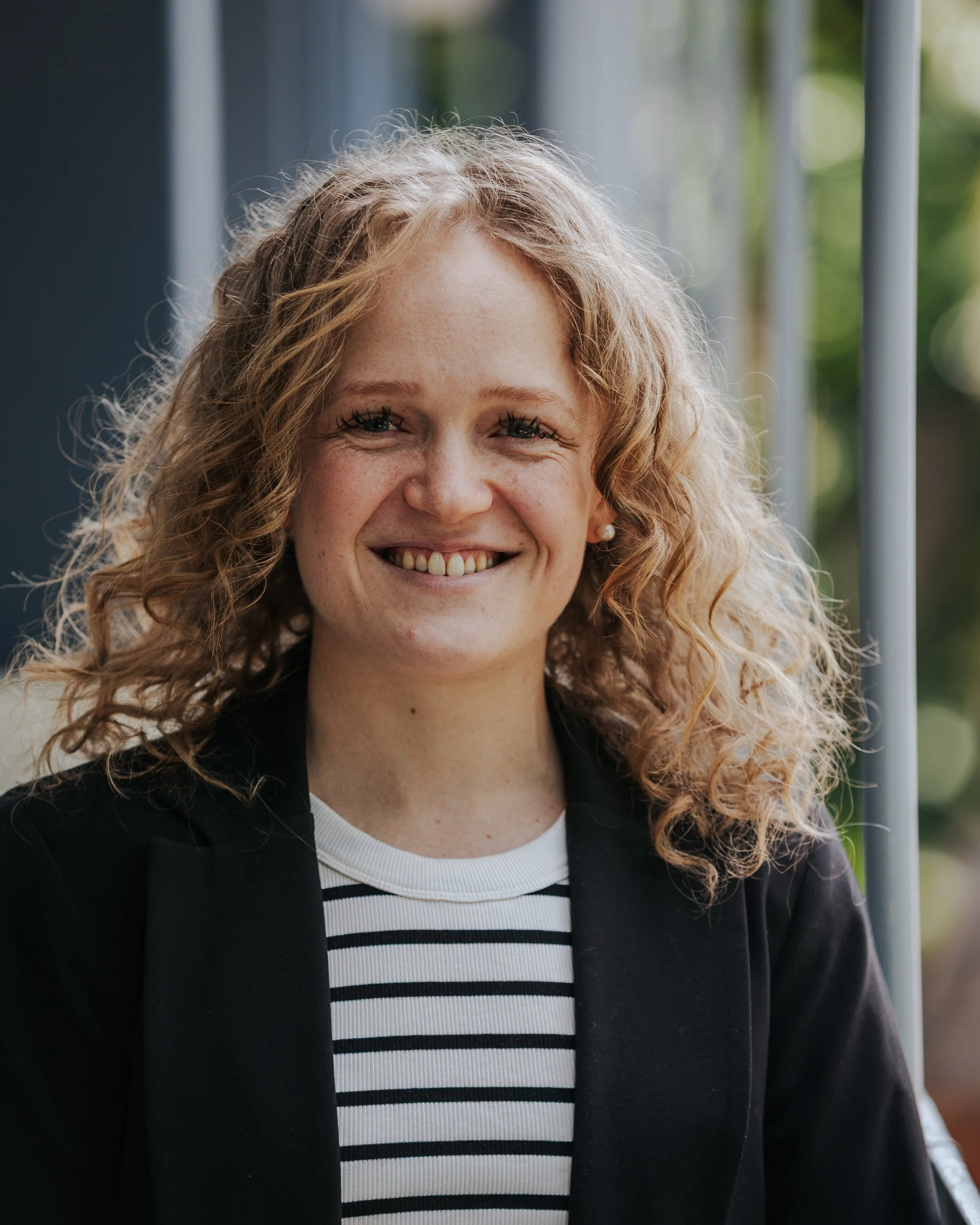
-
MAPSS Fire Co-Ordinator
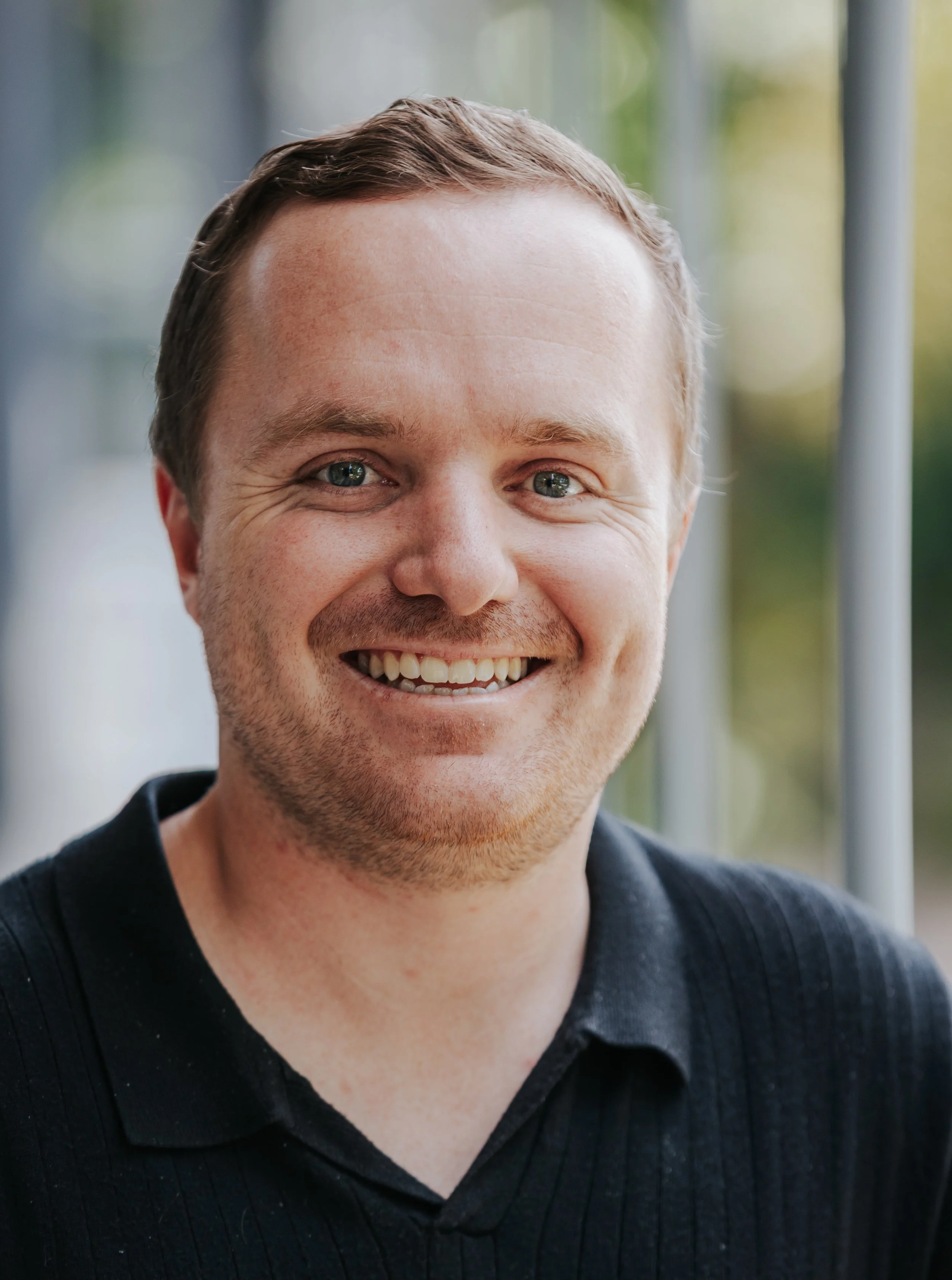
As the MAPSS Fire Coordinator, Meghan ensures seamless communication between clients and the fire team, which includes the MAPSS Directors, GIS Analysts and Interns. She thrives on the challenges and excitement of team management, using her leadership skills to inspire collaboration and to drive success. Most importantly, she is dedicated to maintaining high standards and ensures clients satisfaction. She sees her role at MAPSS as a fantastic opportunity to merge her passion for people and the environment.
-
Geospatial Analyst
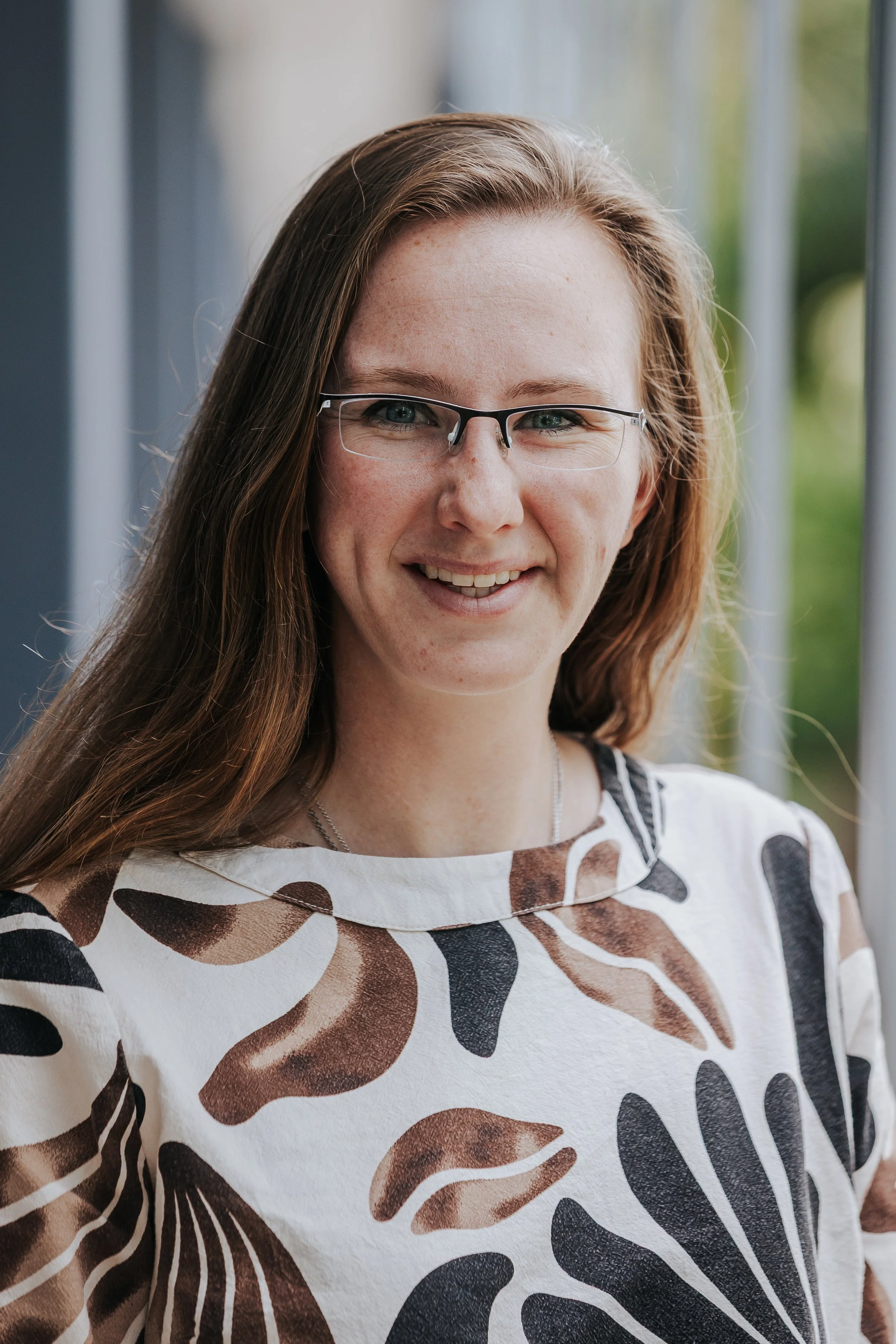
As a child growing up, James spent most of his time outdoors, whether it be camping, hiking or fishing. It was these early interactions with nature that ignited James’s passion for the natural environment and its conservation. This led him to pursue an honours and masters degree in Zoology at the University of Pretoria, as part of the Hot Birds Research Project.
Here, James’s research focused on understanding the behavioural and physiological responses of birds to high air temperatures, an increasingly important topic in the face of global climate change.
At MAPSS, James aims to merge his skills and field work experience with his passion for nature, all while addressing important conservation challenges.
-
Geospatial Solution Engineer
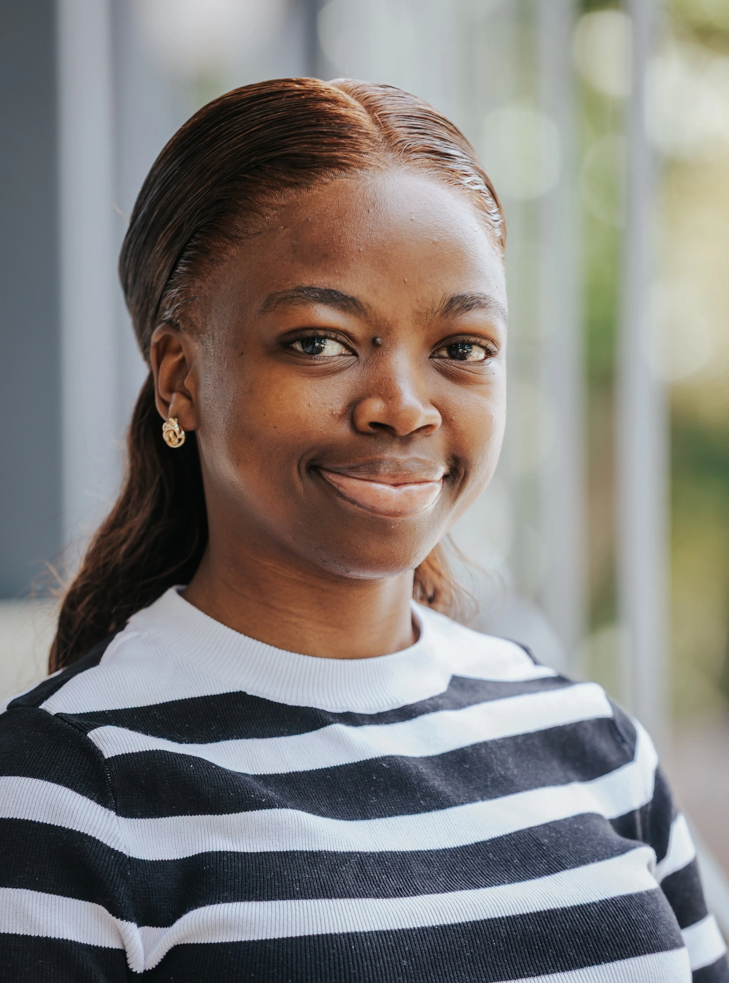
Jillian is a Geospatial Solution Engineer with a strong foundation in geoinformatics, holding a BSc and BSc Honours from the University of Pretoria. She has accumulated diverse experience across consulting, strategy, and application development roles in both the public
and private sectors. Since 2025, Jillian has been delivering innovative geospatial solutions at M.A.P Scientific Services. Previously, she served as a Geospatial Consultant at Esri South Africa, contributing to GIS strategy planning and implementation for national departments, provincial offices, and utility companies, while supporting a range of projects including asset management, infrastructure monitoring, and dashboard development. Jillian holds multiple Esri certifications, including ArcGIS Pro Professional, ArcGIS Online Administration, and GIS Fundamentals, demonstrating her commitment to staying at the forefront of geospatial technology.
-
Junior Geospatial Analyst
-
Junior Geospatial Analyst
Scientific Credibility
Publications
Our publications showcase the scientific research, technical reports, and knowledge products that underpin our work. Explore and download a selection of papers, reports, and resources that demonstrate our commitment to evidence-based conservation, geospatial science, and informed environmental decision-making.